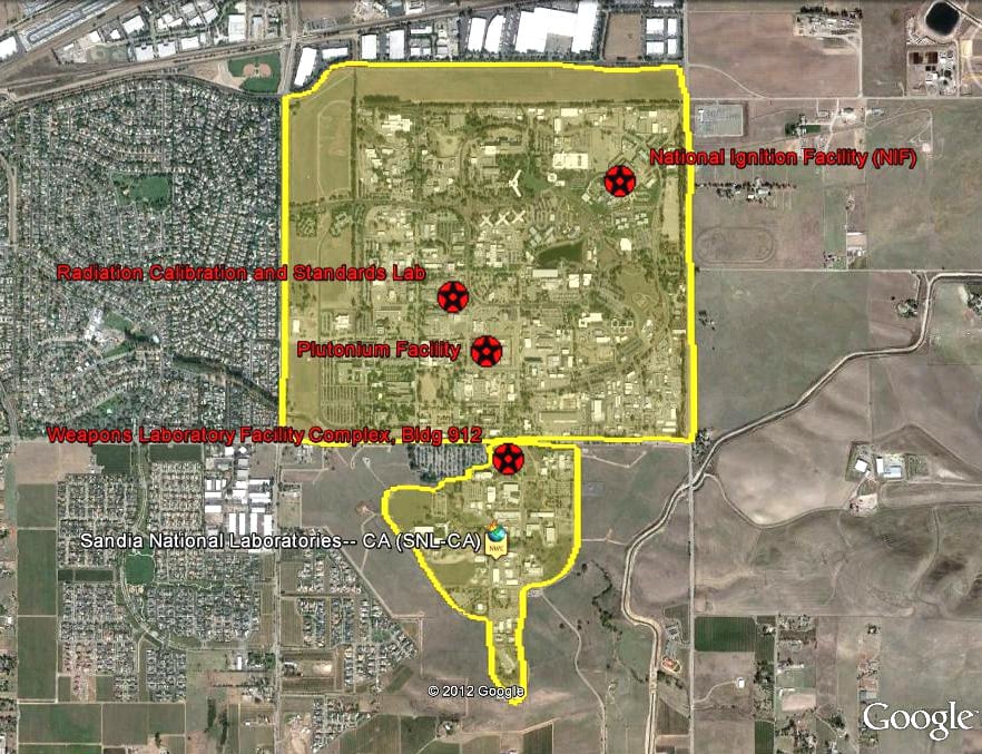
Today we released a free, interactive web map of the U.S. nuclear weapons complex, the collection of facilities that produce, maintain and dismantle U.S. nuclear weapons. The map is part of a larger UCS project evaluating and making recommendations for the future of the complex in light of the fact that the U.S. nuclear arsenal is shrinking.
The map is designed to be used with Google Earth, and shows the locations of hundreds of facilities, with detailed information about many of the major buildings. Users can move around the map and click on facilities to display information about them. The sites on the map include the nuclear weapons design labs at Los Alamos, New Mexico, and Livermore, California, the production and storage site at Pantex in Texas, and others. All the information is from public sources.
The map is a work in progress. We will continue to expand, update, and correct the map, which is designed to load the most recent data to your computer from the UCS website each time Google Earth is opened. We have set up an email address, [email protected], where users can send us corrections or additional information.
To use the Complex Map, you must have Google Earth on your computer. This is free to download and install from Google. More information about the map, including a user’s manual and an installation program, is available on the UCS website.

